Most clients who call us already know the term. They've seen it on a contractor's spec sheet, heard it from their architect..
Accuracy and efficiency are critical in modern construction. As projects become more complex and timelines tighter, traditional surveying and documentation methods often fall short. This is where 3D scanning has emerged as a game-changing technology, providing precise, data-rich insights that improve decision-making from planning to completion.
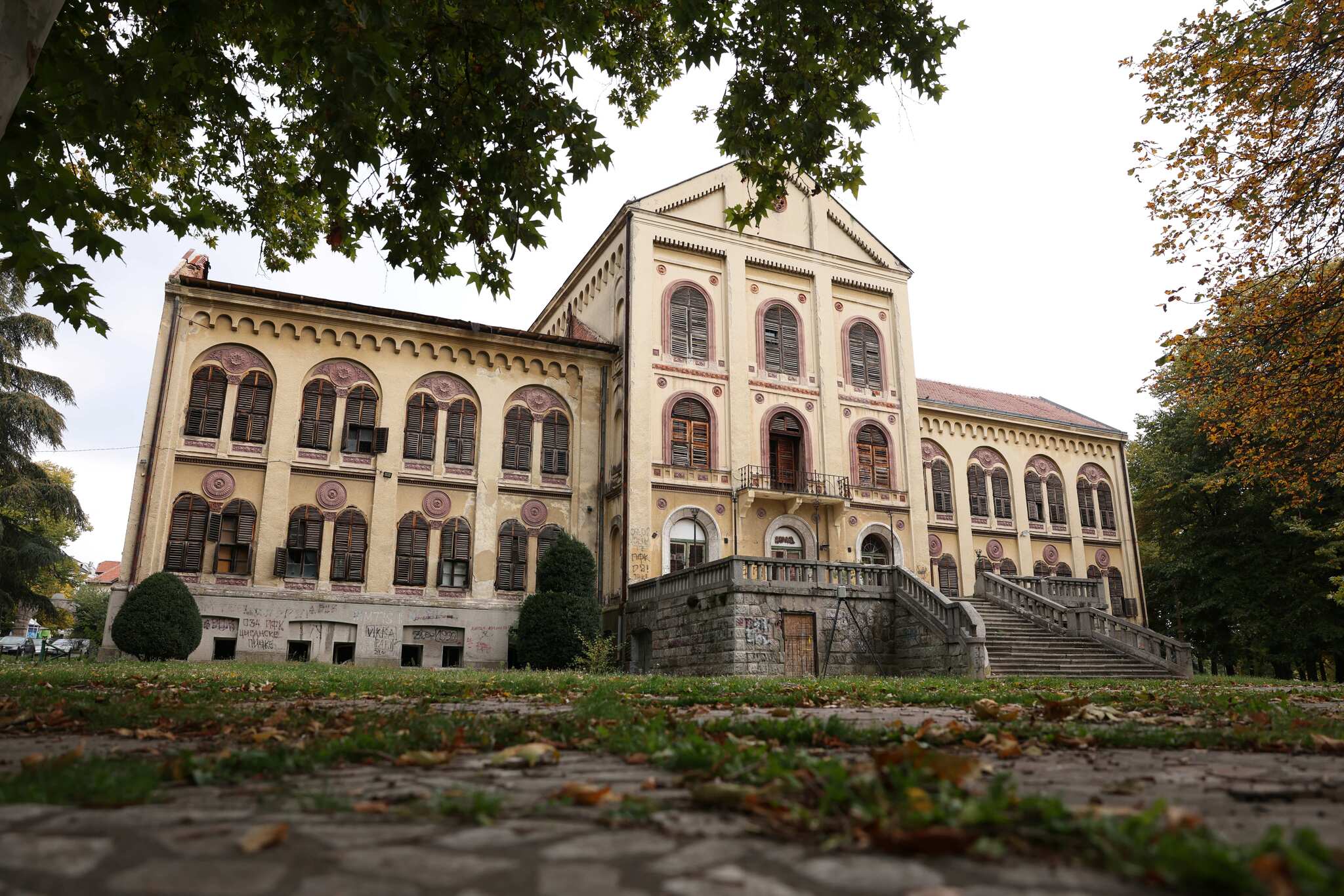
Geodetic survey data is foundational to many engineering and construction projects. However, misusing or misinterpreting this data can lead to serious issues, including misalignment, delays, and increased costs.
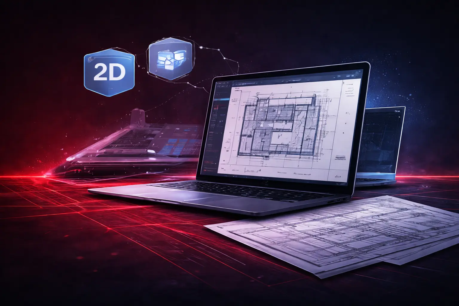
While 3D technologies dominate modern workflows, 2D modeling remains an essential deliverable across architecture, engineering, and construction. In many cases, it’s still the most efficient way to communicate critical information.

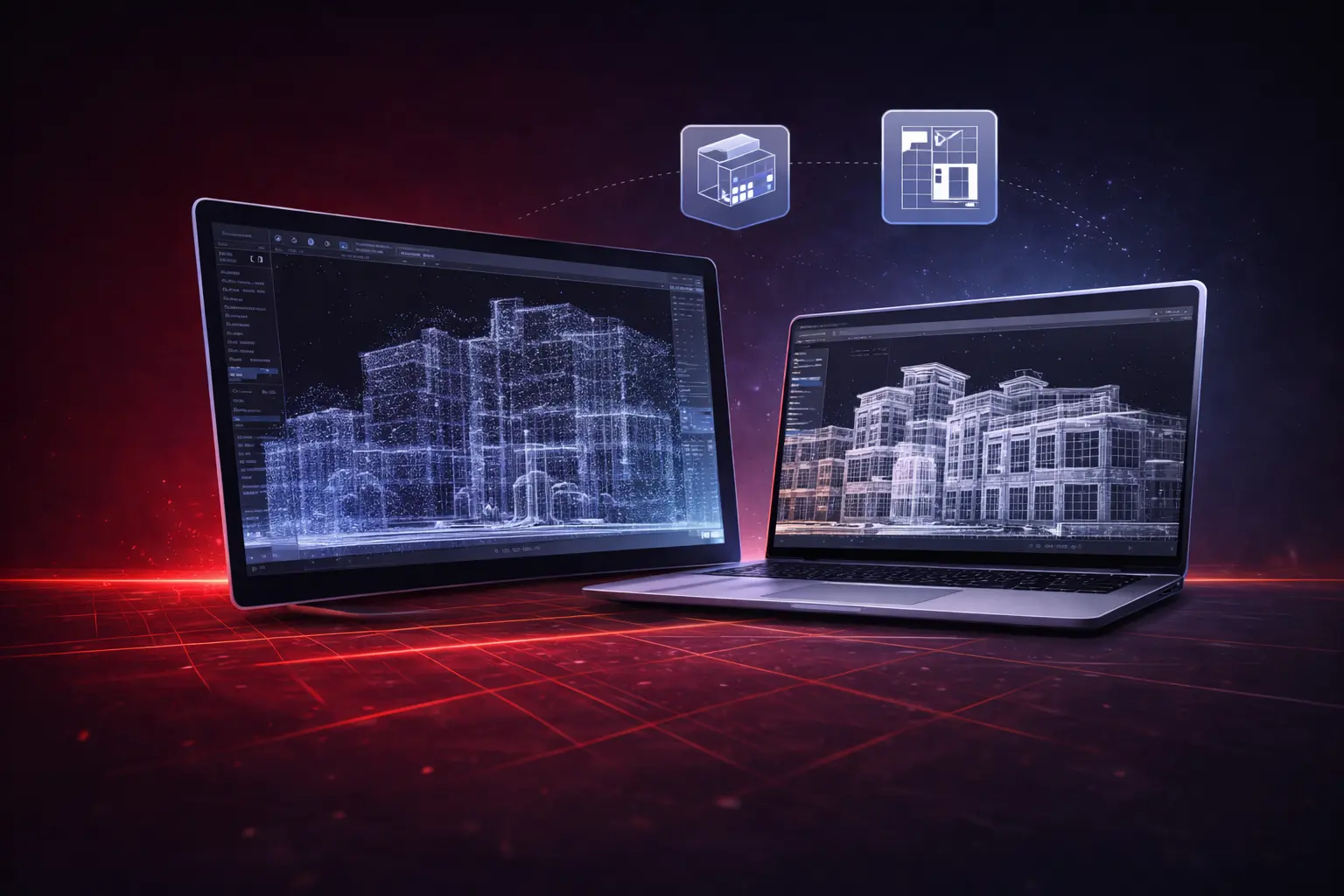
3D models are only as good as the data behind them. For architects and engineers, understanding how raw scan data becomes a usable model is key to getting the most value from modern surveying technologies.
Point clouds are incredibly powerful — but only when transformed into usable deliverables. Understanding the workflow from raw scan data to CAD output helps teams set realistic expectations and achieve better results.
+381 60 6646 634